

Sinhagad Fort is a historic hilltop destination in Pune district and a strong choice for hiking near Pune. The journey from Pune city takes about one and a half hours by road, with trekking routes, fort remains and views across the surrounding landscape to make a day of it.
- Location: Donaje village, Haveli taluka, Pune district
- Road distance: 35–40 km from Pune city
- Road journey: about one and a half hours from Pune
- Trekking option: a 2.7 km route from Sinhagad Village, taking about 1.5–2 hours
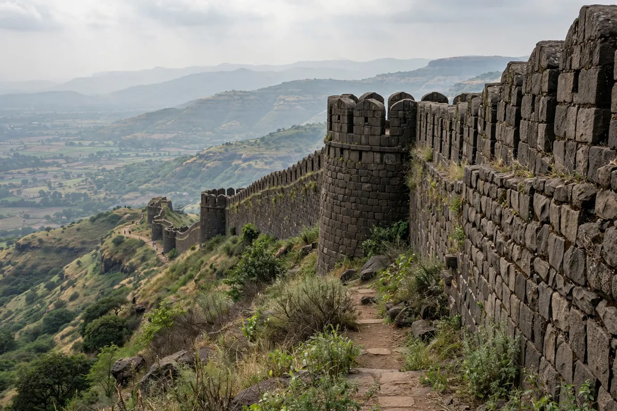
What to expect at Sinhagad Fort
Sinhagad Fort combines historic fortifications with a hilltop setting at an elevation of 1,312 m. Formerly known as Kondhana, it stands at Donaje village in Haveli taluka. The Pune district government gives the hill’s elevation as 1,290 m.
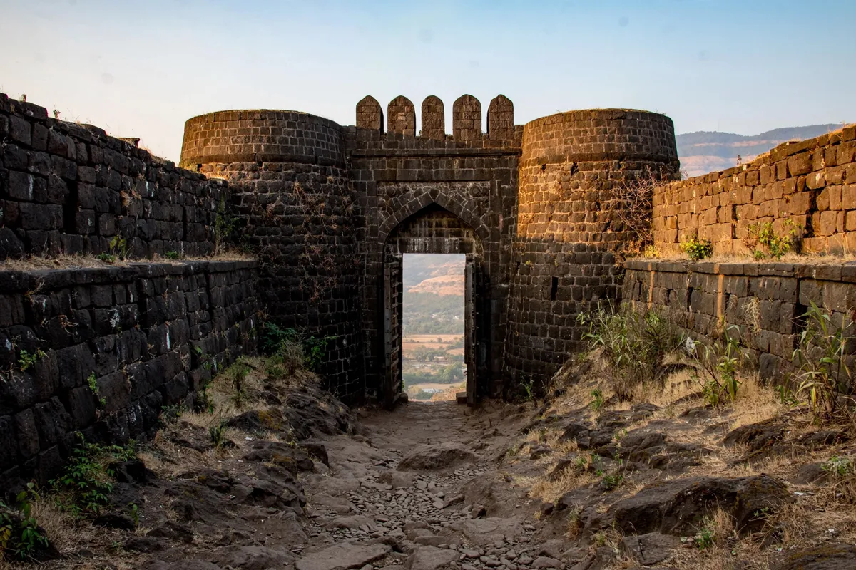
The fort is closely associated with the Battle of Sinhagad in 1670, led by Tanaji Malusare. After the battle, the fort was renamed Sinhagad. Its two main entrances reflect its position between regions: Pune Darwaza faces Pune, while Kalyan Darwaza faces the Konkan.
As you walk around, look for fortifications, bastions, water-storage features, military barracks and storehouses. Ancient temples and Lokmanya Tilak’s Bungalow are also among the sights. Roadside eateries serve local dishes including pithla-bhakri, zunka bhakar, kanda bhaji and taak.
How do you get from Pune to Sinhagad Fort?
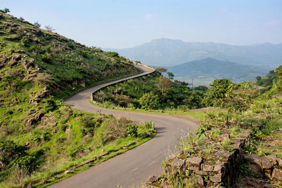
The fort is 35–40 km from Pune city by road, and the Maharashtra Department of Tourism estimates the drive at about one and a half hours. A winding road reaches the summit, so you can travel up by road rather than starting with a climb from the foothills.
Buses from Swargate Bus Stand go to the foothills. From there, you can trek to the top or take a shared jeep. Buses are also available for reaching Sinhagad by road, though specific route numbers, departure points and timetables are not provided. Taxis and shared cabs run between Pune and the fort’s base; check locally for operators and schedules.
Pune Junction is the nearest railway station, about 35 km from the fort. If you are planning a rail arrival before heading out, how to get from Pune Junction to Hotel Studio Estique covers the station-to-city leg.
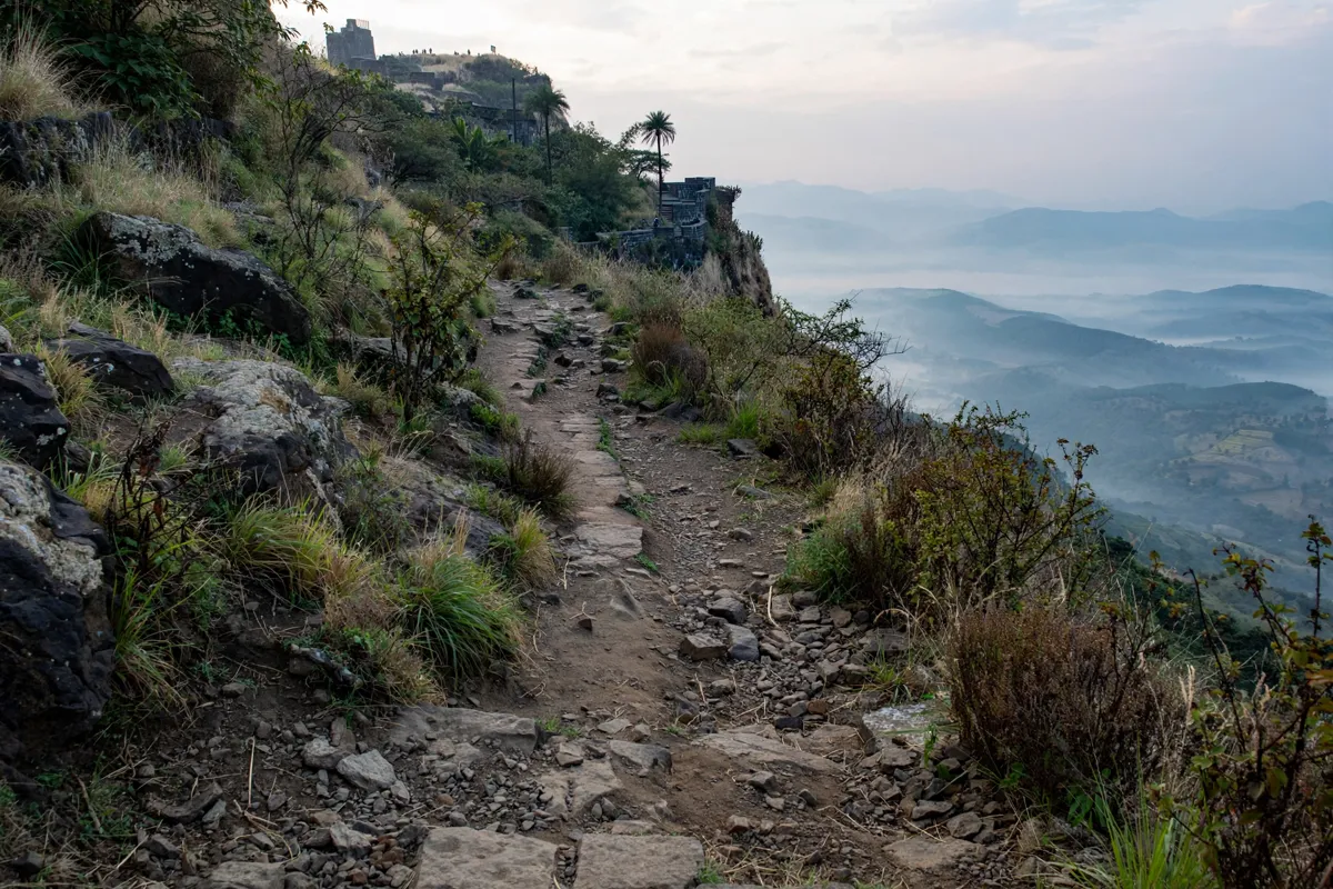
Walking, weather and preparation
The Sinhagad Village trekking route covers 2.7 km and takes about 1.5–2 hours. The Kalyan Darwaza route is steeper, so it involves a more demanding climb. Both routes lead into the fort’s hillside setting, so choose based on the kind of climb you want to take on.
Conditions vary by season. The Maharashtra Department of Tourism identifies June–September as the monsoon season and warns that trails can be slippery then. October–February is winter, while March–May is summer. Factor the season into your walking plans and take care on the trail, particularly during monsoon conditions.
For a second stop in the area, Khadakwasla Dam is about 15 km from Sinhagad Fort. You can consider how to plan a half-day visit to Khadakwasla Dam when pairing the two destinations, depending on your transport and time.
Entry, access and current conditions
The Pune district government describes Sinhagad as a historic tourist place, but its cited page does not provide entry hours, ticket fees, parking arrangements or accessibility details. Check the official site before you go, and confirm current access arrangements with the relevant authorities before setting out.
For the simplest planning, decide first whether you want to travel up the winding road or reach the foothills by bus and continue by trek or shared jeep.
Then allow time for the road journey and, if you are walking, the route you choose. That leaves room to see the fort remains and pause at the roadside eateries before returning to Pune.
FAQs
What was Sinhagad Fort called before?
It was formerly known as Kondhana. The fort took the name Sinhagad after the Battle of Sinhagad in 1670.
Can you reach the top without trekking?
Yes. A winding road reaches the summit, and shared jeeps are available from the foothills.
What food is available at Sinhagad?
Roadside eateries serve pithla-bhakri, zunka bhakar, kanda bhaji and taak.
Which entrance faces the Konkan region?
Kalyan Darwaza faces the Konkan region; Pune Darwaza faces Pune.